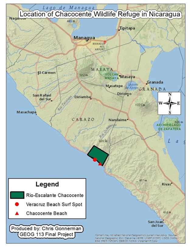
source: http://www.bvsde.org.ni/Web_textos/MARENA/CDInteractivo0002/imagenes/chacocente%20mapa%20c.jpg
|
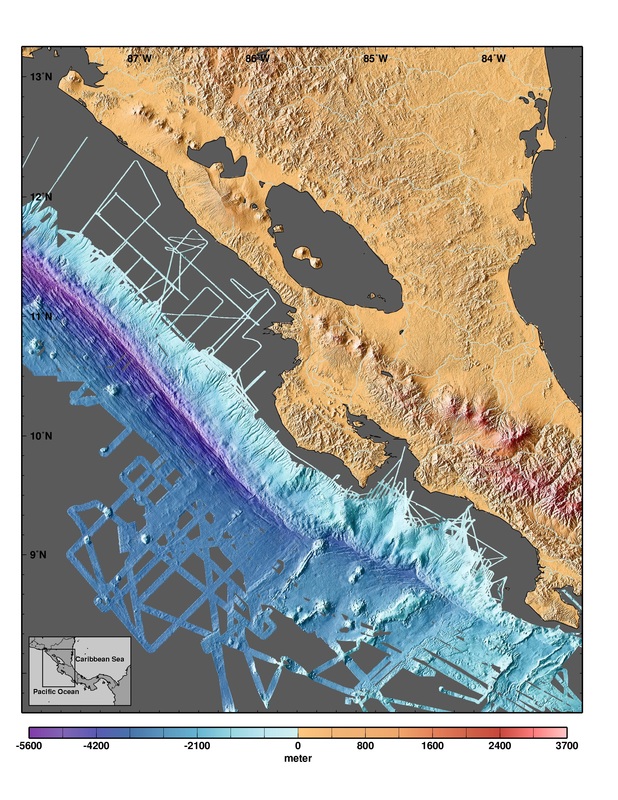
DEM Of NicaraguaThis map is a Digital Elevation Model (DEM). This map uses remote sensing in order to show three dimensional elevation of Nicaragua. Chacocente's elevation lies between 0 to 800 meters (DEM of Costa Rica and Nicaragua).
|
